


cond 1

micheleuvrard
User
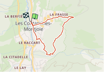

Length
3.8 km

Max alt
1364 m

Uphill gradient
217 m
Km-Effort
6.7 km

Min alt
1149 m

Downhill gradient
218 m
Boucle
Yes
Creation date :
2023-09-03 07:21:09.479
Updated on :
2023-09-03 09:25:14.461
2h03
Difficulty : Medium

FREE GPS app for hiking
 SityTrail
IGN / Geographical institutes
SityTrail Plus
The world is yours!
About
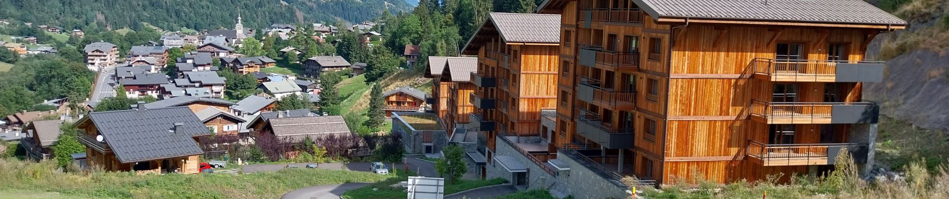
Trail Walking of 3.8 km to be discovered at Auvergne-Rhône-Alpes, Upper Savoy, Les Contamines-Montjoie. This trail is proposed by micheleuvrard.
Photos


Positioning
Country:
France
Region :
Auvergne-Rhône-Alpes
Department/Province :
Upper Savoy
Municipality :
Les Contamines-Montjoie
Location:
Unknown
Start:(Dec)
Start:(UTM)
323419 ; 5076757 (32T) N.
Comments